
Drone & LiDAR Scanning Capability
NE Property Consultants uses state-of-the-art drone and LiDAR scanning technology to provide a level of accuracy and insight that traditional survey methods simply cannot match.
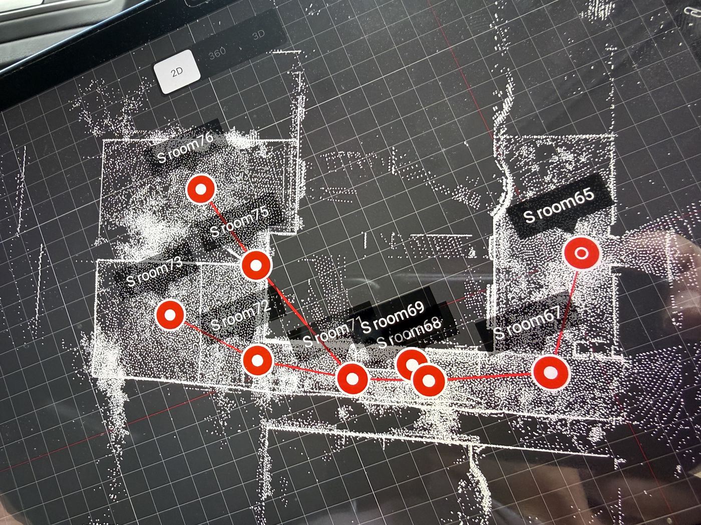
Millimetre-Accurate Measured Surveys
The use of state-of-the-art LiDAR scanning technology provides the high level of accuracy required for boundary plan surveys, and is invaluable for fully measured property surveys — plans, elevations and sections — produced with access to highly accurate property datums, eaves heights and lintel heights.
These levels are critical during the design phase and for property conversions, where a few centimetres of error can affect window head heights, structural openings or planning compliance.
- RICS & HM Land Registry compliant boundary and title plans
- Accurate datums, eaves and lintel heights for design and conversion projects
- Fully measured plans, elevations and sections produced directly from scan data
Accurate Elevations for Planning & Design
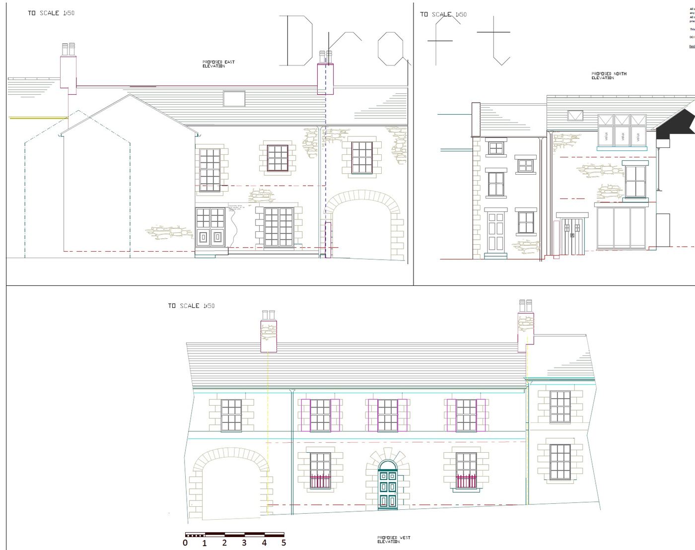
Scan data is translated directly into accurate CAD elevations and plans — used to support planning applications, listed building consent, and construction detailing on renovation and conversion projects.
Because the underlying survey data is captured to such high accuracy, proposed elevations reflect the true as-built condition of the property — reducing the risk of costly discrepancies once construction is underway.
- Proposed elevations prepared to 1:50 scale for planning submission
- Accurate representation of existing stonework, openings and roofline detail
- Supports listed building and heritage planning applications
Drone surveys provide invaluable insight into areas of a property not visible by eye — roof coverings, chimneys, high-level masonry and rainwater goods — supporting the defect assessments and building surveys detailed above with clear photographic evidence.
Request a Measured Survey or Title Plan
LiDAR-accurate floor plans, boundary plans and title plans meeting RICS and HM Land Registry requirements.